Tim Melbourne
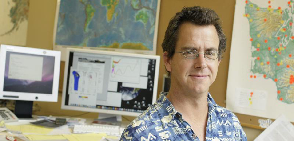
Professor Melbourne's research is focused on modeling seismic waveform and GPS deformation data. He heads the Pacific Northwest Geodetic Array, which uses continuous GPS to monitor crustal deformation throughout the Cascadia subduction zone, future megathrust earthquakes, and in particular the slow earthquakes which frequently occur along the Cascadia plate interface fault. For a list of links to Melbourne's and PANGA research please click here.
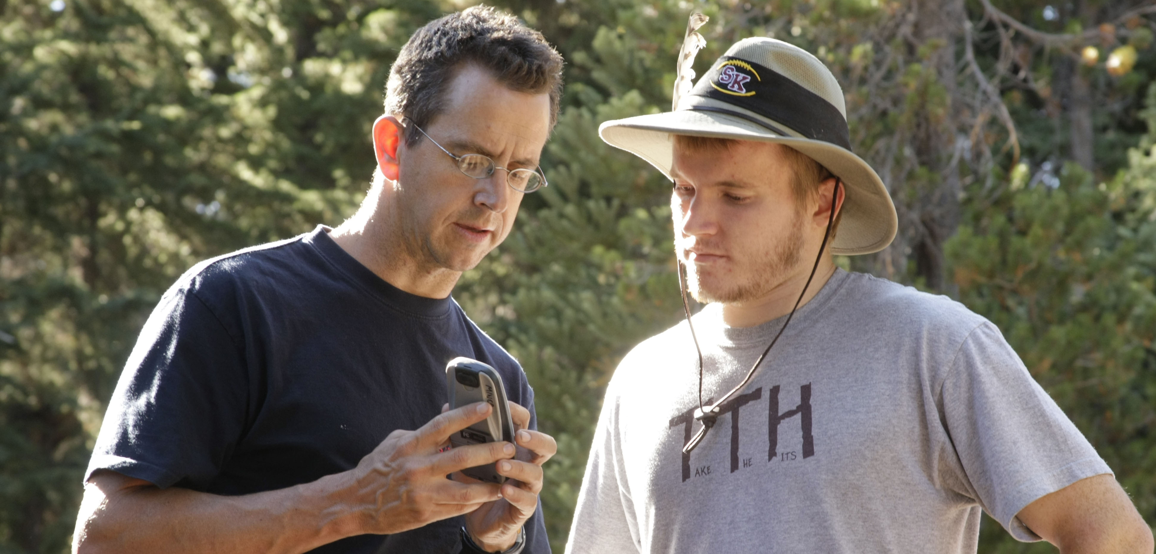
Locating Campaign Geodetic Markers